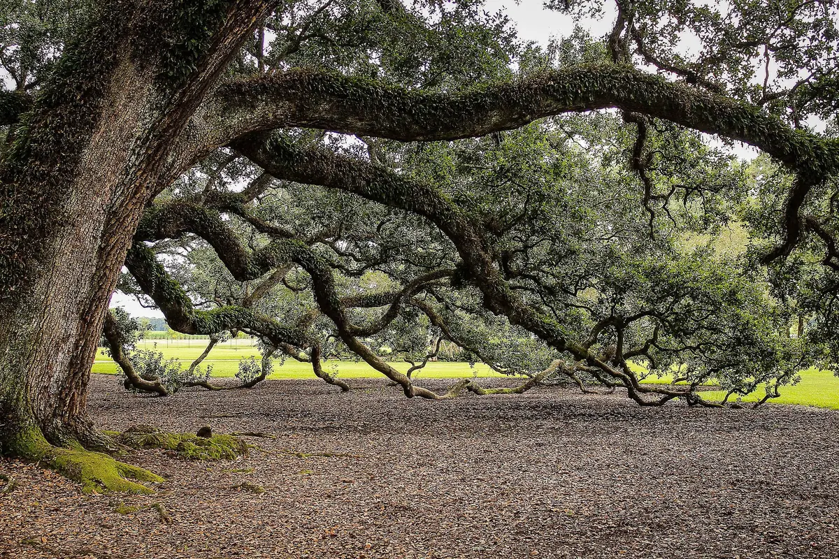
01Bay edge / established canopy
Historic Old Northeast
A field lens for mature street trees, compact rights-of-way and the changing salt-and-wind exposure between the bayfront and inland blocks.
Open field noteSt. Pete / block by block
These field notes zoom in from citywide canopy to the street, yard and planting strip. Each page asks what is growing now, where shade breaks, and which tree and plant layers might fit the actual site.
The illustrated map is for orientation, not property boundaries. Use the City's GIS layer for official neighborhood geography.
Neighborhood field notes
This is a growing series. Each note is a field lens, not a claim that every block or yard shares the same conditions.
01Bay edge / established canopy
A field lens for mature street trees, compact rights-of-way and the changing salt-and-wind exposure between the bayfront and inland blocks.
Open field note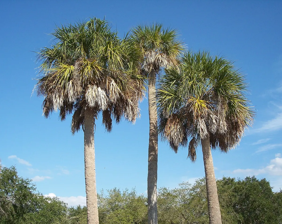
02Compact lots / heat gaps
A close-up look at shade gaps, small-lot tree choices and the pressure created by pavement, parking, alleys and overhead utilities.
Open field note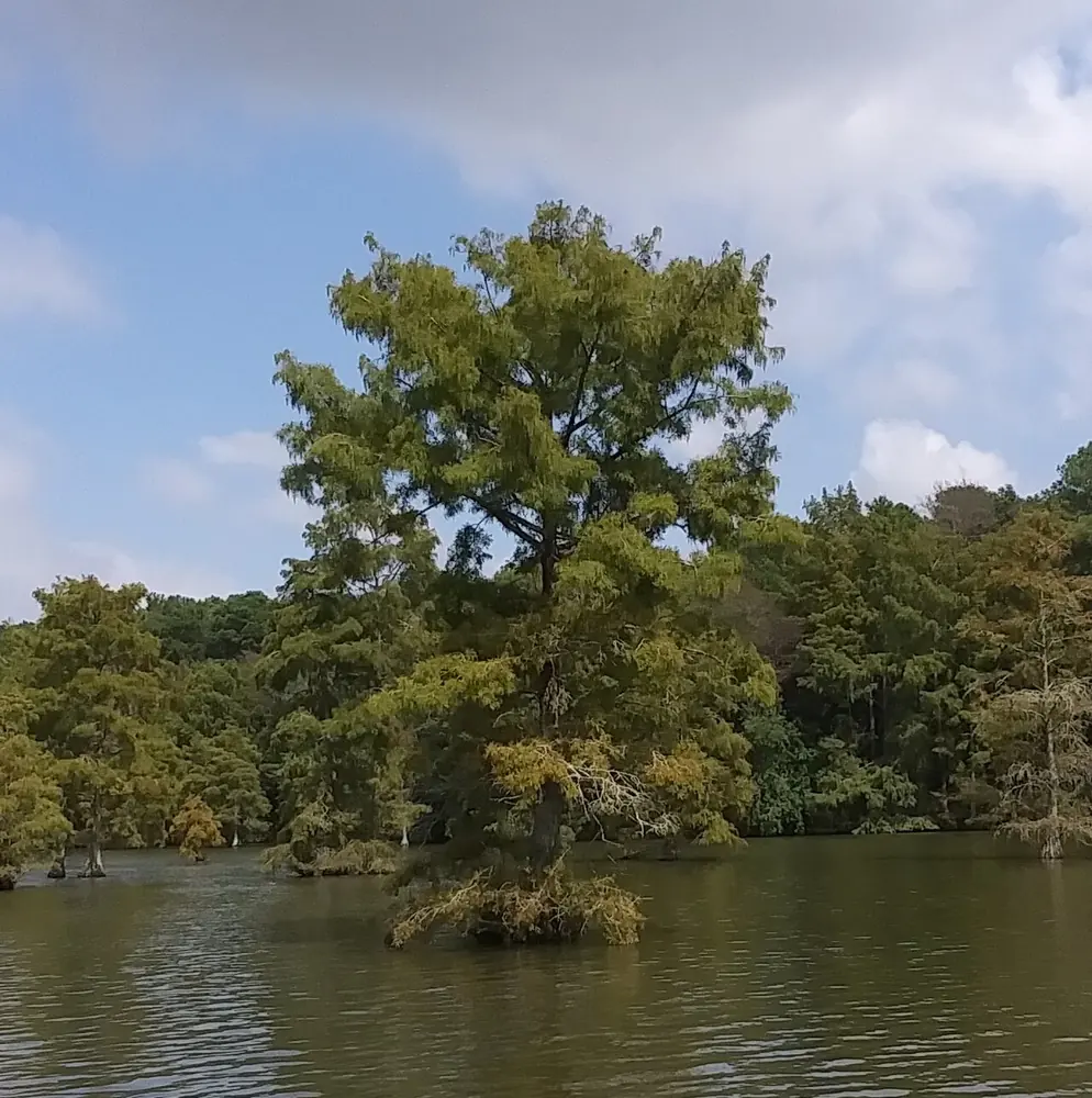
03Lake edge / wet-to-dry gradient
A neighborhood field note about the transition from open water and park canopy to residential blocks, with moisture and public-space context kept visible.
Open field note04Grid streets / canopy succession
A field note for mature shade, alley and utility constraints, and the next generation of trees across a compact historic street grid.
Open field note05Creek corridor / grade change
A field lens for shifts in elevation, drainage and canopy scale between creek-adjacent spaces, sloping streets and compact lots.
Open field note06Coastal exposure / salt and wind
A field note for exposed residential sites where wind, salt, drainage, clearance and post-storm recovery shape planting decisions.
Open field noteUse the map outside
Compare canopy overlap, pavement heat, wires, soil openings and evidence of standing water.
A neighborhood pattern is context. The yard's light, drainage, salt, root room and clearance still decide the fit.
Compare mature size and site tolerance, then verify current City rules and authoritative plant profiles.
Source standard
Neighborhood names and geography are anchored to the City's GIS layer. The canopy baseline comes from the City's 2022 technical report. Species ideas are deliberately framed as candidates to investigate through UF/IFAS and the Florida Native Plant Society—not as prescriptions for every property.