Read the neighborhood
Begin with the pattern. Finish with the site.
Roser Park invites a topographic reading. A low, creek-influenced edge and a nearby raised lot may respond very differently after heavy rain. Tree choice should follow the actual grade, drainage pattern, soil room and distance from structures—not an assumption that one moisture condition defines the whole neighborhood.
How do grade and stormwater movement change the tree, shrub and ground layers that can persist with the least intervention?
Canopy signals
What to notice on the walk.
High and low ground
Trace where water collects, moves or drains after rain; nearby properties may occupy different moisture positions.
Slope and roots
Notice exposed roots, erosion, retaining edges and compacted paths.
Public-private transition
Separate observations along public landscapes from conditions and permissions on a private site.
Tree shortlist
Candidates to investigate—not a shopping list.
Confirm the exact site, mature dimensions, Pinellas County distribution, current rules and nursery form before selecting a tree.
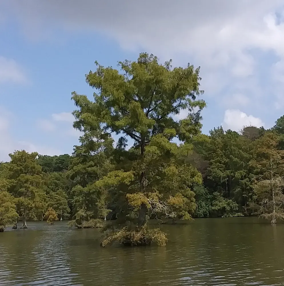
Taxodium distichum
Bald cypress
A large native to investigate for appropriate moist sites with substantial room.
Watch: Scale, roots and moisture make it wrong for many compact lots.
Magnolia virginiana
Sweetbay magnolia
A native candidate for moist, organically richer sites and layered habitat.
Watch: Confirm drainage, mature form and local suitability.
Ilex vomitoria
Yaupon holly
A smaller native form for tighter or higher ground where dimensions fit.
Watch: Verify mature spread, sun and soil moisture.
Beyond the tree
Build the plant community in layers.
Moist ground
Blue flag iris / swamp sunflower
Investigate only where the site is genuinely moist and outside public drainage areas.
Slope structure
Muhly grass / beautyberry
Select by root behavior, final width, light and maintenance access.
Drier edge
Coontie / frogfruit
Use where drainage and sun support them without forced irrigation.
A 20-minute canopy walk
Take the field note outside.
- 01Begin at a visible low point
Record water evidence, soil cover and the distance between roots and infrastructure.
- 02Walk uphill one block
Notice how drainage, reflected heat and available soil change with grade.
- 03Compare two canopy edges
Look for where shade ends and which understory layers succeed there.
Keep reading
Guides for the yard behind the neighborhood pattern.
Use these practical field guides to translate the observations from your walk into a site-specific shortlist and planting plan.
Native Trees for Saint Petersburg Yards
A site-first guide to matching canopy, roots, soil, sun and exposure in compact coastal-city lots.
Open field guideHow to Plant a Florida Native Tree for Long-Term Establishment
A calm, repeatable planting sequence: root flare, wide hole, mulch, water and early structural care.
Open field guideA Seasonal Tree Calendar for West-Central Florida Yards
What to observe, plan and maintain through the dry season, rainy season and storm season.
Open field guideSources and map references
- City of St. Petersburg GIS - Neighborhood Associations
- City of St. Petersburg - 2022 Tree Canopy Analysis
- Florida Native Plant Society - Native plant finder
- UF/IFAS - Urban tree site evaluation and species selection
This page describes a field-observation framework. It is not a parcel-level inventory, landscape plan or substitute for current municipal guidance.